

Introducing Plugixa Image Map 1.0.0: Interactive Image Maps for WordPress

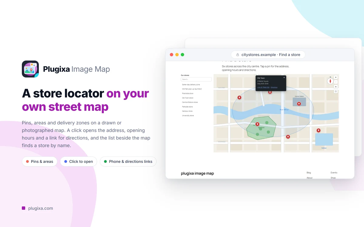
Meet Plugixa Image Map, version 1.0.0. It turns any picture in your media library into an interactive map: a floor plan where every room answers, a product photo that explains its parts, a street map with your stores on it. You draw hotspots, give them tooltips and links, and place the map on a page with a block or a shortcode.
What it does
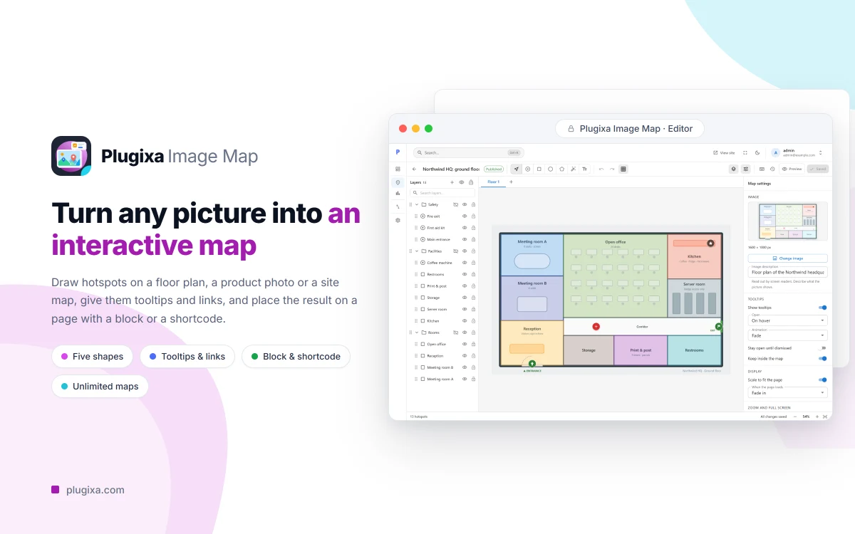
The editor is a real drawing tool. Draw spots, rectangles, ovals, polygons and text labels, then drag, resize and rotate them, with snapping to other hotspots, to the edges of the picture and to a grid. Layers and groups keep a busy map in order, and undo and redo cover every step.
Each hotspot has a resting look and a hover look, and a tooltip written in the WordPress editor you already know. A click can open a link as well. Before the map goes live, the preview shows it at desktop, tablet and phone widths.
Highlights
- Five shapes: spot, rectangle, oval, polygon and text, with seven built-in icons for spots.
- A canvas that helps: snapping, layers, groups, multi-select, align and keyboard shortcuts.
- Tooltips with rich text, written in the WordPress editor.
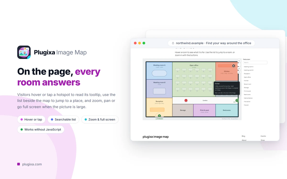
- Zoom, pan and full screen, switched on per map.
- A searchable list of places beside the map.
- Maps drawn on the server as ordinary HTML, readable without JavaScript and by a keyboard or a screen reader.
- Version history, named checkpoints and autosave.
- A block and a shortcode,
[plugixa_image_map], plus a REST API and WP-CLI commands. - Export and import as a file, and an importer for maps made with Image Map Pro.
On a phone
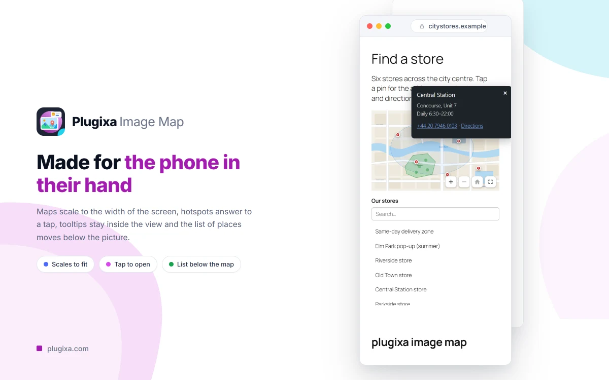
Maps scale to the width of the screen, hotspots open on a tap and the list of places moves below the picture.
Free and Pro
Everything above is in the free plugin, with unlimited maps and up to 2,000 hotspots on each. Nothing in it is time-limited or switched off pending payment.
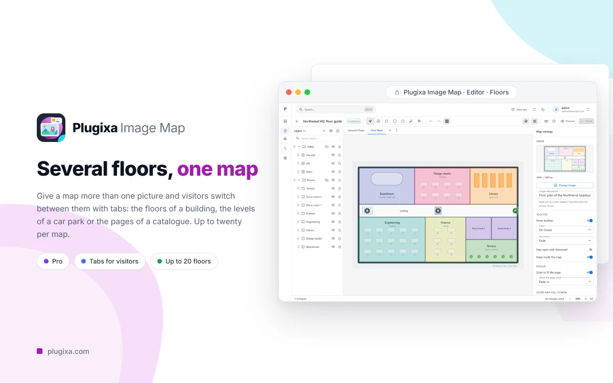
Pro is a separate download that adds a magic wand tool that outlines an area for you, floors that put several pictures in one map, tooltips filled from a post, a page or a WooCommerce product, statistics counted without cookies, your own picture or SVG icons with animations, conditions that show a hotspot between two dates or to chosen visitors, and import from a CSV file. Pro costs €39 a year for one site or €59 a year for unlimited sites.
Plugixa Image Map needs WordPress 6.5 and PHP 8.2 or later. Start with Getting Started, compare the editions in Free vs Pro, or see the Plugixa Image Map page.